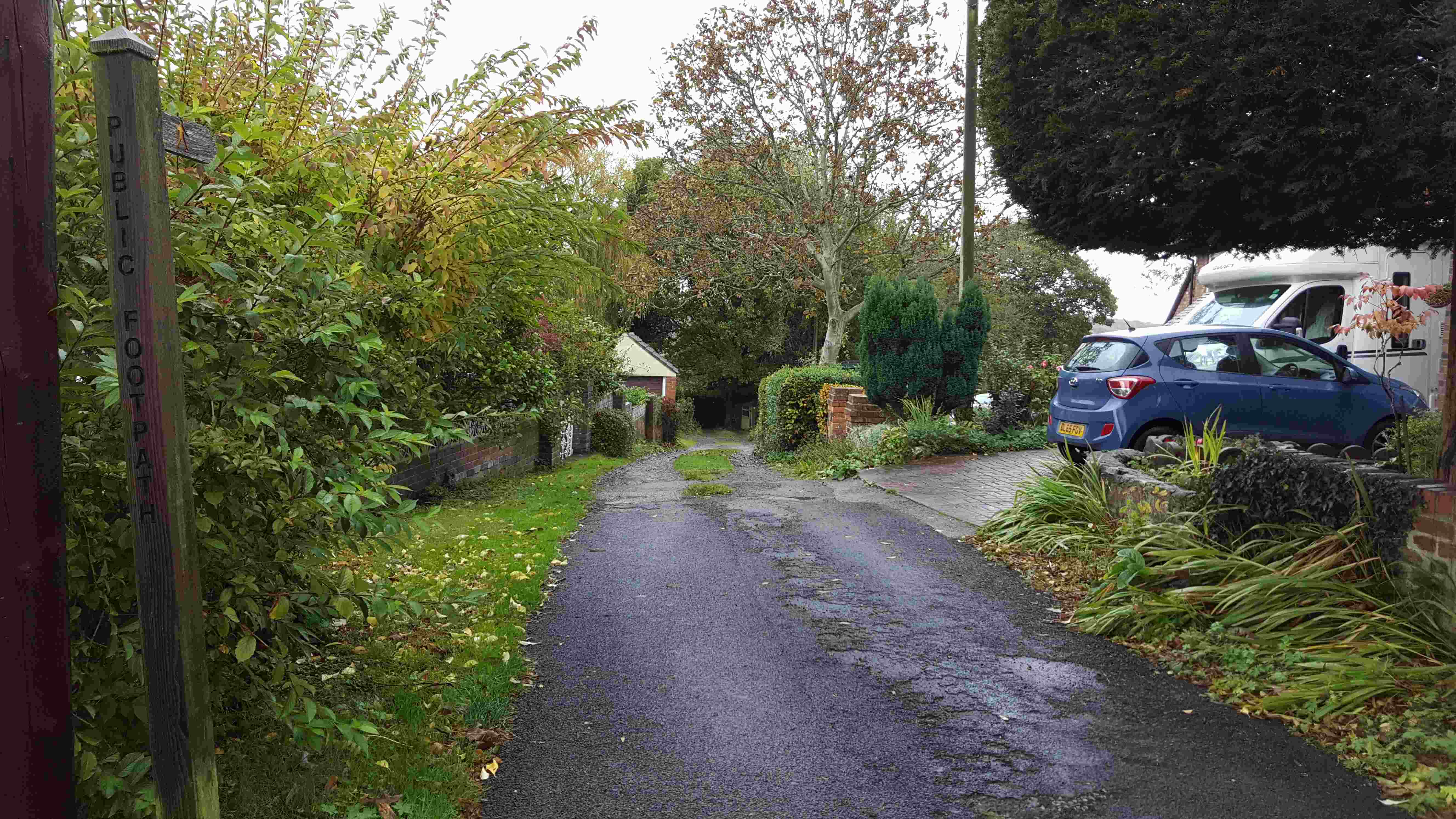
Telford & East Shropshire Ramblers have been asked by local people if they can help with evidence for whether routes may be unrecorded rights of way.
Muxton, Donnington and Donnington Wood footpaths need your help
Your help is needed! Over 13,000 people live in the Muxton and Donnington area, yet access to the countryside is not as easy as it should be. These days we all know about the physical and mental health benefits that come from being able to walk in the countryside, so we are calling upon you to help improve access in Muxton and Donnington. Please can you help the Ramblers and the Rights of Way Team at Telford and Wrekin Council get these problems of access to the countryside improved?
Firstly - the Weald Moors is a special area to the north of Muxton, yet while it looks on the map like there are a lot of public paths that could be used to reach the area, in reality, a lot of them cannot be used. The footpaths are obstructed in many places and the access to the path network from Wellington Road in Muxton near the Caravan Park seems to be missing.We are trying to build evidence that there should be a footpath added to the map to link the existing footpath (the broken green line) to the road. Have you any knowledge of historic use of a route that linked this footpath to the road? Did you used to walk this area when you were young? How did you get from Wellington Road to the footpaths out towards The Humbers, Hincks, and the countryside beyond? Please get in touch if you can help.
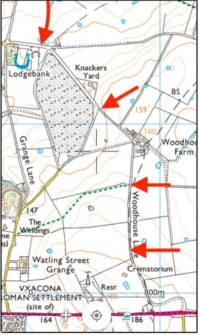 The second area of concern is a wide area to the east of Donnington Wood beyond Granville. Here there are two 'white roads' which you need to use to get onto the public rights of way. However, Woodhouse Lane and Lodge Lane (shown by the red arrows on the map) do not have a recorded right of public access and could be closed by the landowners at any time. This anomaly was noted several years ago that there are public rights of way without a way of exiting them so you can only use them as 'there and back again walks!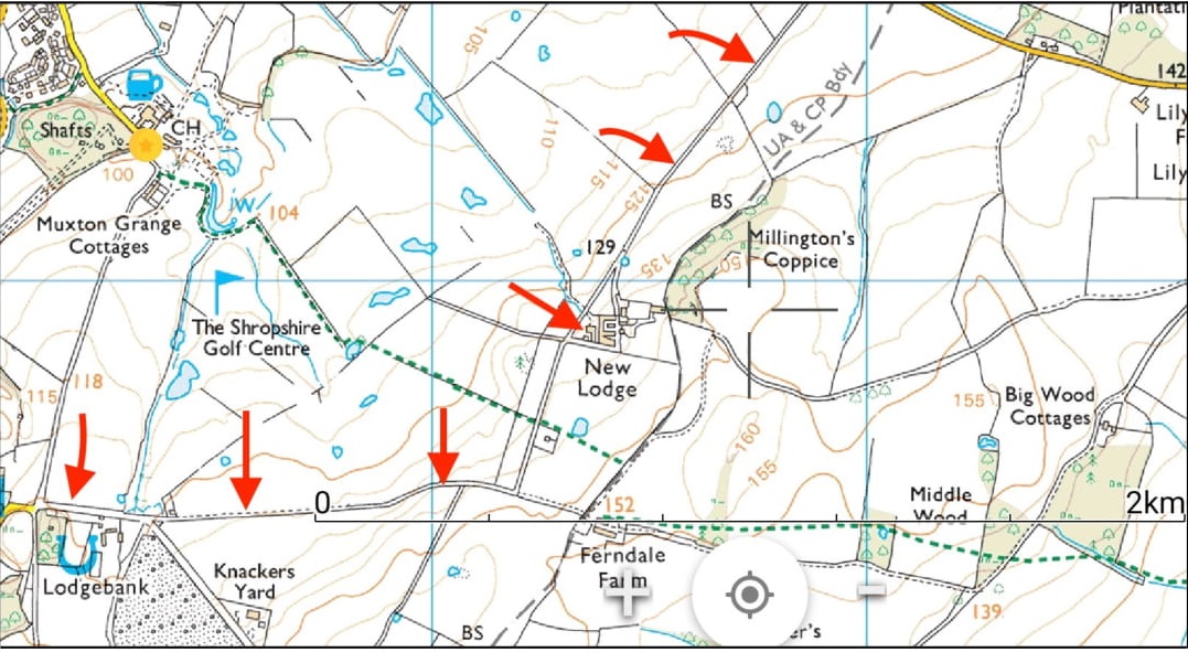
To have any chance of keeping these routes open to the public in the future we need to add to the evidence that they have been walked, cycled or ridden by the public in the past. If you have used these routes at any time, we’d like to hear from you, and we'll let you know how you can help enable people to explore their local countryside again. If you want to download a pdf to email this appeal with maps to other walkers or family members you can download it here
If you can help in any way, please contact the Chair or send us a private message via Facebook https://www.facebook.com/Telford-and-East-Shropshire-Ramblers-463941947076536
Dukes Drive Kynnersley
In Kynnersley, Dukes Drive (marked in red on the attached map), leading from Sydney to Long Lane has been used by walkers, cyclists and horse riders for many years. Have you used it? We need to hear from you. Either contact us using the contacts tab on this website or even better get in touch with the local Parish Council who are collecting evidence of use. If you want to help, please contact Ruth Evan:
Broseley Wood - Maypole Road to Ladywood
You may be familiar with a very useful path that links Broseley Wood from the end of Maypole Road, to Ladywood (the route then continues down to the B road near The Two Pines House, a short cut on foot from Broseley to Jackfield). Most of the Broseley end of this route is already recorded as a public right of way by Shropshire Council. The bit of the route which is in Shropshire is where if you go straight on from the end of Maypole Road, the road becomes a track, then a wide path bordered by a hedge on either side, then you enter the Ladywood woodlands (picture bottom left).
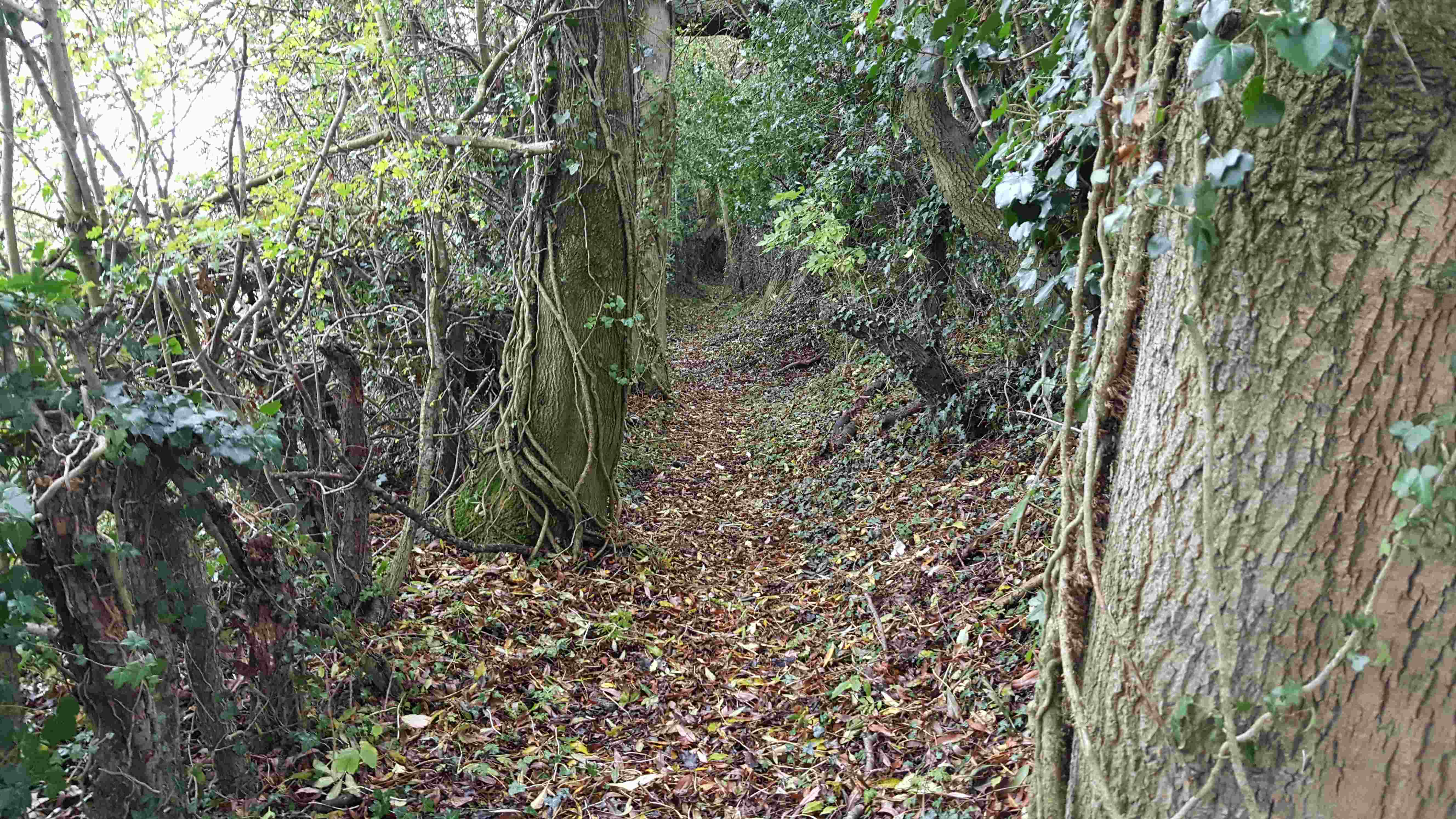 Unfortunately, just before one enters the Ladywood on the Shropshire side of the boundary between Shropshire and Telford & Wrekin a short 50m section of the route would appear to be an unrecorded right of way. This short section was recently blocked by fallen trees. To keep this route open and enable it to be maintained in the future, a number of local people have asked Ramblers to apply to Shropshire Council to add this section to the Definitive Rights of Way Map for Shropshire.
However, there must be sufficient evidence of use, by right, over at least 20 years for the route to be made into a right of way. This is where you can help. Please could you complete a Shropshire SC "Public Rights of Way Evidence Form" and send it back to Anne Suffolk, Chair Telford & East Shropshire Ramblers (keep a copy on your files). If you have any other documentary evidence, e.g. old maps, photos, dated correspondence etc. please let her know about them (don't send originals at this stage, though scanned copies are fine). We will collect all the evidence to see whether there is enough evidence to support an application to Shropshire Council to add this route to the Definitive Map.
Here is a map you may find helpful to mark the line of the route you have walked, plus a copy of the SC evidence form. You can also find out more information from http://www.shropshiresgreatoutdoors.co.uk/ and click on Acesss and Rights of Way links and the Interactive Map links .You can also download a pdf and word version of the SC evidence form https://new.shropshire.gov.uk/media/6409/rights-of-way-evidence-statement.pdf
 Please send these completed forms by email to